open-source software for real-time disaster response coordination
RescueMap-AI
Built to help emergency responders validate and act on location-based data during active disaster operations — no cloud required.
The Problem
When a disaster strikes, emergency responders are flooded with incoming location reports from the public, field teams, and official agencies simultaneously. The challenge is not a lack of data — it is determining which reports are accurate, which are duplicates, and which areas need immediate attention. The 2024 Hurricane Helene after-action review documented this directly as a critical gap in active disaster operations. RescueMap-AI is built to close it.
How It Works
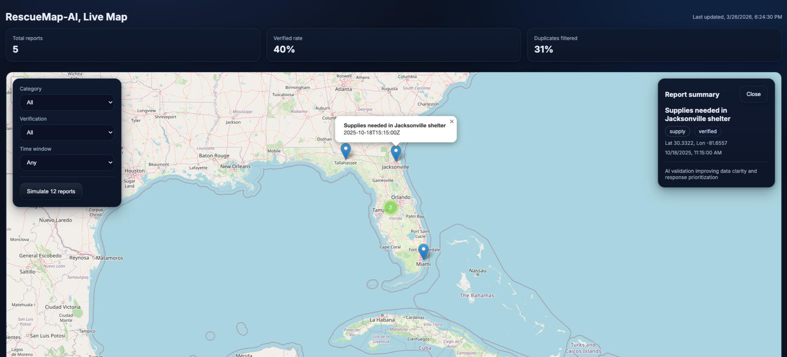
🗂️ Collect: Ingests location reports from public submissions, field teams, and official feeds. Every source is weighted by credibility before entering the validation pipeline.🧠 Validate: A lightweight machine learning layer removes duplicate reports, scores reliability, and flags high-priority zones - running entirely offline on modest hardware.🗺️ Visualize: A live map displays verified and unverified reports with color-coded markers, giving incident commanders a real-time picture of their operational situation.
Research and Recognition

Peer-Reviewed Publication
Disaster Response Systems and Data Integrity: Optimizing Crowdsourced Inputs with Simple Machine Learning

FOSS4G North America 2025
Presented as a peer-reviewed workshop at the premier open-source geospatial conference in North America
Get Involved
If you work in emergency management, geospatial systems, or disaster response and want to explore a pilot, contribute, or discuss the research — reach out
© RescueMap-AI · Open-source disaster response coordination
Built by Bilal Ahmed · FOSS4G NA 2025 · ISJEM 2025